| | 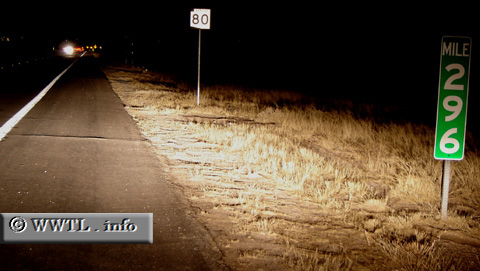
(Eastbound State Route 80; Benson, Arizona)
--Photo taken by Carlos Rogers in 2005 ✔
Viatype:F4-D
Map Location: 31.93072, -110.28184
State Route 80, once a constituent of a
continental Federal Route 80, connects traffic through Benson, Tombstone, Douglas and the
New Mexico border. Federal Route 80 is currently truncated to the eastern suburbs of
Dallas, TX whereas it originally stretched west into San Diego, California.
Next photo>>>
| |