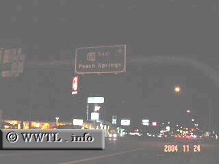
(Eastbound Andy Devine Avenue; Kingman, Arizona)
--Photo taken by Carlos Rogers c. 2000s ✔
Map Location: 35.21869, -114.00885
Arizona State Route 66 follows the old alignment of Federal Route 66 in eastern Mojave and northern Yavapai Counties.
| Distance Chart for Arizona 66
Approximate distance in km (1 km = 0.621 miles) | ||||||||||||||||||