| | 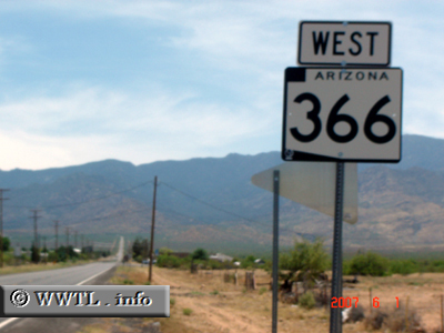
(Westbound State Route 366; Swift Trail Junction, Arizona)
--Photo taken by Carlos Rogers in 2007 ✔
Viatype:S2-U
Map Location:
32.72812, -109.7162
Route 366, one of the lesser
traveled roads in the Grand Canyon State, connects Federal Route 191 with the
high-reaching Hurricane Pass.
| |