| | 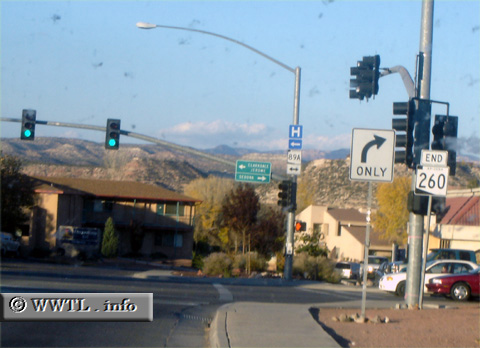
(End Westbound State Route 260;
Yavapai County, Arizona)
--Photo taken by Carlos Rogers in 2006 ✔
Viatype:S4-D
Map Location: 34.72162, -112.00239
Though Route 260 is sign-posted
as an east-west corridor, it is predominantly "north-south" between
Cottonwood and Interstate 17.
|
|