| | 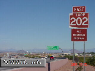
(Eastbound Red Mountain Freeway; Mesa, Arizona)
--Photo taken by Carlos Rogers c. 2000s ✔
Viatype:F4-D
Map Location: 33.43843, -111.86787
Phoenix, Tempe and Mesa are
currently served by Loop 202. Once this route's entire path gets
completed, Gilbert and Chandler will also be connected.
|
|