United States   

 
(Southbound S. Ray Road; Superior, Arizona)
--Photo taken by Carlos Rogers in 2007
Viatype:S2-U
Map Location: 33.2897, -111.09672

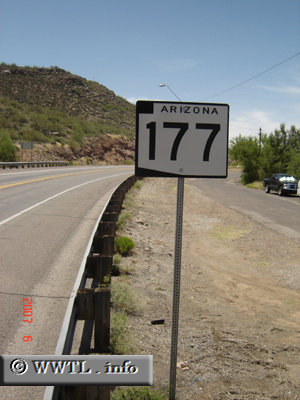
Highway 177 connects the small desert communities of Superior, Kearny and Winkelman.  

Next photo>>>

Share with:
XFacebookWhatsAppReddit


Distance Chart for
Arizona 177
Kearny, Arizona
35Superior, Arizona
5116Winkelman, Arizona
Approximate distance in km
(1 km = 0.621 miles)