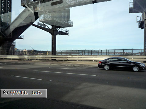
(Northbound Sydney Harbour Bridge; Sydney, New South Wales)
--Photo taken by Denis Jacobi in 2008 ✔
Viatype:S1-U
Map Location: -33.8496, 151.21247![]()
Built between 1928 and 1933, the Sydney Harbour
Bridge serves as a landmark and essential conduit for the city it serves.
Next
photo>>>
<<<Previous
photo
Distance Chart for
Australia National Route 1
Australia National Route 1
| Adelaide, South Australia | |||||||||
| 2804 | Brisbane, Queensland | ||||||||
| 3220 | 6994 | Darwin, Northern Territory | |||||||
| 6024 | 4216 | 4150 | Perth, W. Australia | ||||||
| 1887 | 917 | 5133 | 5107 | Sydney | |||||
Approximate distance in km
(1 km = 0.621 miles)
(1 km = 0.621 miles)