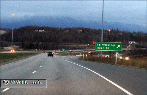
(Southbound Parks Highway; Matanuska-Susitna Borough, Alaska)
--Photo taken by Dan Peri in 2006 ✔
Viatype:F4-D
Map Location: 61.56566, -149.30836
The route also converts to a freeway near its southern terminus.
Next
photo>>>
<<<Previous
photo
Distance Chart for
Alaska 3
Alaska 3
| Denali State Park | |||||
| 348 | Fairbanks, Alaska | ||||
| 180 | 528 | Palmer, Alaska | |||
Approximate distance in km
(1 km = 0.621 miles)
(1 km = 0.621 miles)