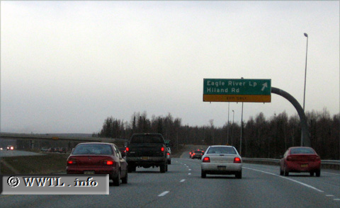
(Eastbound Glenn Highway; Anchorage municipality, Alaska)
--Photo taken by Dan Peri in 2006 ✔
Viatype:F4-D
Map Location: 61.29181, -149.5909
Between Anchorage and Eagle River is Fort Richardson. The exit above denotes eastbound Alaska State Route 1's (nearby) exit from the American military post.
Next
photo>>>
<<<Previous
photo
Distance Chart for
Alaska 1
Alaska 1
| Anchorage, Alaska | |||||||
| 359 | Homer, Alaska | ||||||
| 69 | 424 | Palmer, Alaska | |||||
| 511 | 867 | 443 | Tok, Alaska | ||||
Approximate distance in km
(1 km = 0.621 miles)
(1 km = 0.621 miles)