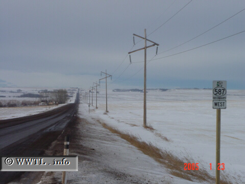
Canada
(Westbound Secondary Provincial Route 587; Kneehill County, Alberta)
--Photo taken by Carlos Rogers c. 2000s
✔
Viatype:
S2-U
Map Location:
51.91121, -113.24142
English |
français
Note the interesting appearance of the utility poles.
Share with:
Share information about this road!
Distance Chart for
Alberta 587
Bowden, Alberta
20
Horseshoe Lake, Alberta
60
40
Huxley, Alberta
Approximate distance in km
(1 km = 0.621 miles)