Canada
(Westbound Secondary Provincial Route 564; M.D. 44, Alberta)
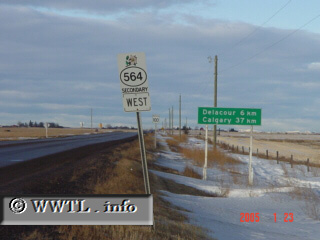
--Photo taken by Carlos Rogers c. 2000s
✔
Viatype:
S2-U
Map Location:
51.15428, -113.6795
English |
français
Route 564 is the longest paved secondary-road in southern Alberta.
Share with:
Share information about this road!
Distance Chart for
Alberta 564
Delacour, Alberta
32
Nightingale, Alberta
45
13
Skyview Ranch, Calgary
Approximate distance in km
(1 km = 0.621 miles)