| | 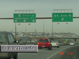
(Northbound Deerfoot Trail; Calgary, Alberta)
--Photo taken by Carlos Rogers in 2005 ✔
Viatype:F6-D
Map Location: 51.10596, -114.04637
English | français
Highway 2 is a high-priority corridor in Alberta; it connects Montana with
Calgary, Red Deer, Edmonton, and Peace River. Having motorway-status for a
substantial part of its routing, this route quickly ushers motorists through the
province with 110 km/h advisories. The average travel speed in Calgary is
~120 km/h, while between Calgary and Red Deer, it seems to be ~140 km/h.
Next
photo>>>
| |