 Search similar photos
| Search similar photos | United States |
 |
 |
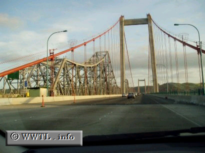
The Carquinez Bridge is actually composed of two separate bridges--the one on the right is the earth-quake retrofitted version, just completed in 2004. The one on the left is the older span, which may sink to the bottom of the bay if a strong enough earthquake hits.