 Search similar photos
| Search similar photos | Costa Rica |
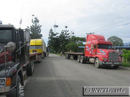 (Southbound National Route 36; Sixaola, Limón) --Photo taken by Carl Rogers Map Location: 9.50092, -82.61409 English | español Behind the yellow truck lies the Panamanian border. |
 |
<<<Previous
page
Back to World Map